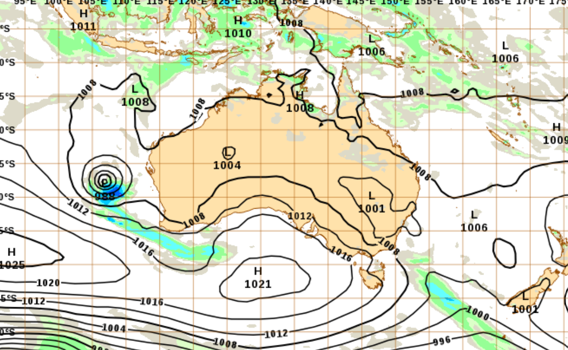
The State Emergency Service has warned that wind gusts of up to 90km/h will hit the South Coast this afternoon before moving up to Sydney and the Hunter.
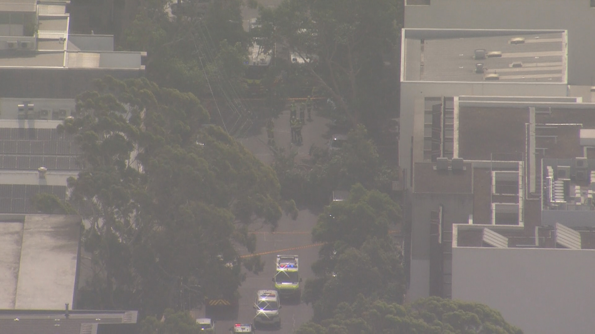
A person is trapped in a car after strong winds knocked a tree on top of the vehicle south of Sydney's CBD.
Rescue efforts are under way to free the driver stuck in a car on Danks Street in Waterloo.
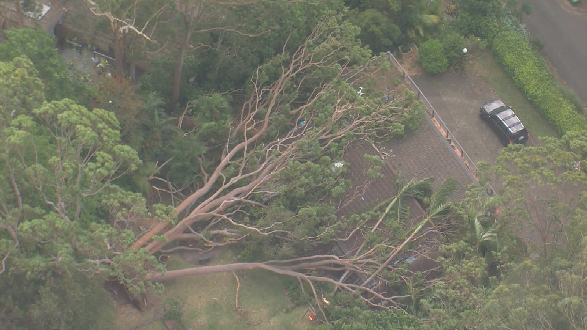
Moments before the car was crushed, strong winds on the Mid North Coast caused a massive tree to collapse onto a house.
READ MORE: All the executive orders signed by Trump on day one of his second US presidency
The roof of the home on Lisa Valley Close in Wahroonga suffered serious damage from the massive tree.
There are no reports of injury, the SES said.
It comes as the Bureau of Meteorology records winds of 50 to 90 km/h at Sydney Harbour and the eastern suburbs beaches.
READ MORE: Man shot dead after stabbing attack in Israel

The State Emergency Service warned earlier that wind gusts of up to 90km/h will hit the South Coast this afternoon before moving up to Sydney and the Hunter.
Wind speeds will average 60 to 70km/h, and the SES has urged residents to be prepared for falling trees and debris.
"Strong winds could bring down trees and powerlines, as well as cause damage to properties," SES Assistant Commissioner Sean Kearns said.
READ MORE: Four taken to hospital after car crashes into Melbourne home
"Residents and holidaymakers across greater Sydney should download the Hazards Near Me app and set up local watch zones to stay across the latest warnings and information.
"Taking the time now to prepare your home by securing or putting away loose items around your yard or balcony will ensure you're as prepared as possible."
Sydney is expected to be hit by the winds mid-afternoon before they reach Newcastle by the early evening.
Thunderstorms are also possible tonight over parts of Sydney and the Hunter, however, there are no severe storm warnings from the Bureau of Meteorology.
Heatwave grips half the nation
Meanwhile, a heatwave warning is in place for NSW, Queensland and Western Australia over the next three days.
Residents in Brisbane will swelter through a top temperature of 36 degrees today, but in some inland regions it is expected to surge to more than 40.
The areas expected to be hit the hardest by the heat include the Brisbane metropolitan area, Clermont, Dalby, Emerald, Gladstone, Goondiwindi, Longreach, Rockhampton, Roma and Stanthorpe.
READ MORE: 'Overseas actors' may be funding antisemitic attacks in Australia
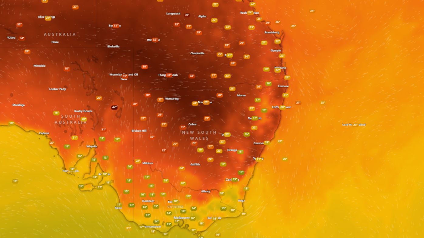
The sweltering weather will remain for most of this week, with a minimum overnight temperature in the high 20s offering little relief.
A milder southerly change will bring some relief to eastern parts of Queensland over the weekend.
Similar heatwave conditions are also building over northern parts of NSW.
Areas likely to be impacted over coming hours include Byron Bay, Glen Innes, Inverell, Moree, Murwillumbah and Tweed Heads.
Central Sydney is heading for a top temperature of 35 degrees today, but the mercury will surge to 39 degrees at Penrith in the city's west.
But other parts of NSW - such as Bourke in the state's north-west and Dubbo - are forecast to hit 40 degrees or more.
The extreme conditions are not expected to linger, with a cool change sweeping in from this afternoon, bringing the chance of a thunderstorm in the evening.
In Western Australia, similar conditions are forecast with top temperatures expected to reach 45 degrees or higher.
The areas expected to be impacted include Perth, Carnarvon, Denham, Geraldton, Gingin, Kalgoorlie, Kalbarri, Meekatharra, Mount Magnet, Mandurah, Newman and Northam.
Temperatures are expected to cool by Saturday.
READ MORE: Wondering about the weather on Australia Day? Here's your forecast for the capital cities
https://twitter.com/NSWRFS/status/1881507764779823294?ref_src=twsrc%5EtfwThe bureau said the heatwave was driven by hot dry winds from western and northern Australia.
Fire authorities in Queensland and NSW are warning about an increased fire danger.
Meanwhile, Western Australia is experiencing its third heatwave of the summer, with Premier Roger Cook insisting the power grid is performing well enough in the sweltering conditions.
Perth's temperature peaked at more than 40 degrees on Monday, resulting in record power usage.
 Prince Harry settles lawsuit against Rupert Murdoch's Sun tabloid
 NDIS provider fined $1.9m over 'terrible' choking death
 Warning over medication shortage in Australia
 Family remembers 'cheeky, playful' boy, 5, killed by falling parking meter
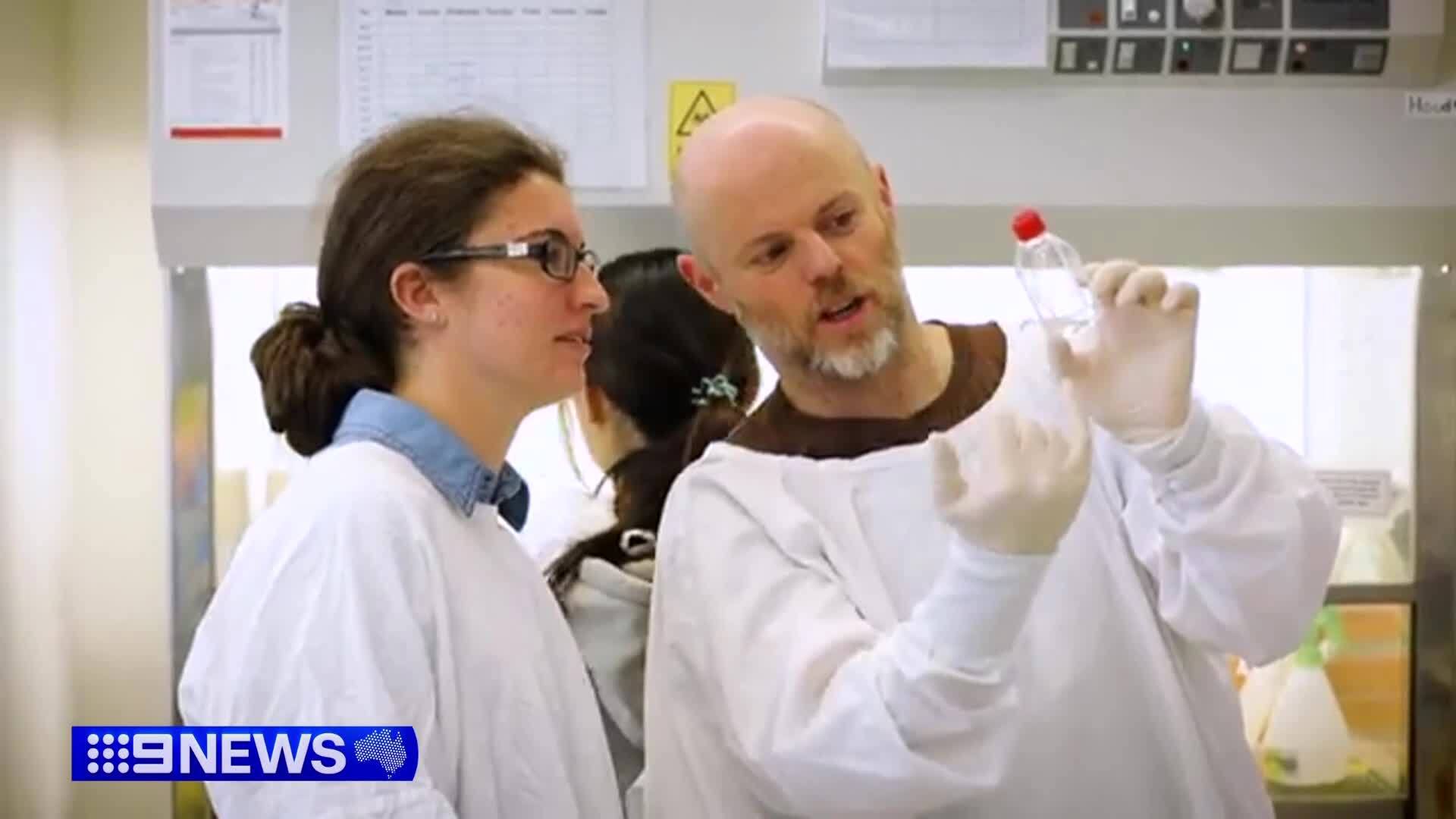 Australian researchers make new breast cancer discovery
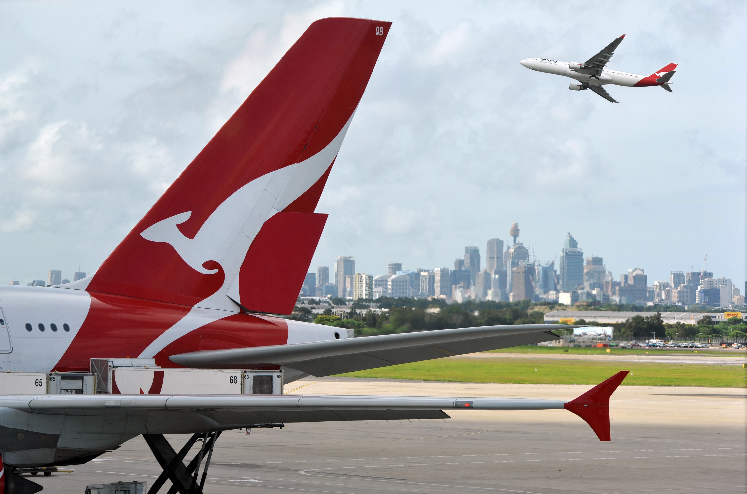 Qantas seats get more expensive under major frequent flyer shakeup
 $3.5 billion 'budget black hole' for Brisbane's Olympic athletes' village
 In Pictures: Everything Trump did on his first full day in the White House
 'Just a really hard day': Heartbreak as fire destroys beloved sports club
 Palestinians confront a landscape of destruction in Gaza's 'ghost towns'
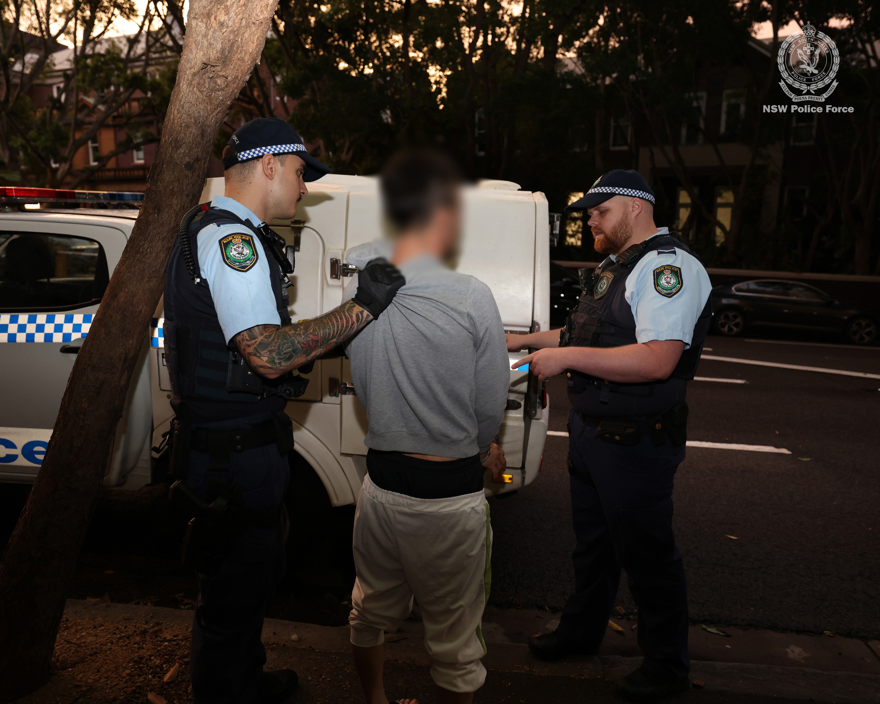 Man to front court over alleged Sydney synagogue attack
 The wide-ranging Trump immigration orders likely to create chaos
 At least 76 dead, 51 injured in hotel fire at ski resort in Turkey
 Trump cuts cake with large sword before he exits Commander-in-Chief ball
 Adelaide Zoo's new panda pair makes long-awaited public debut
 'We know who we are': Advocate's message after Trump declares 'only two genders'
 Trump's inauguration attended by family of hostages still held by Hamas


